

Boundary or elevation errors
An incorrect property line, benchmark, or grade can lead to encroachment disputes, redesigns, or construction set in the wrong place.
Try a different word, or check the spelling.
Your mapping drone is both equipment you own and a source of flight or privacy responsibility. Gear, professional and aviation-related terms should distinguish those interests, with boundary work, subsurface interpretation, and digital survey records accepted for the services you perform.
The Southern Agency can help you manage the risks of specialized mapping instruments and professional survey errors.
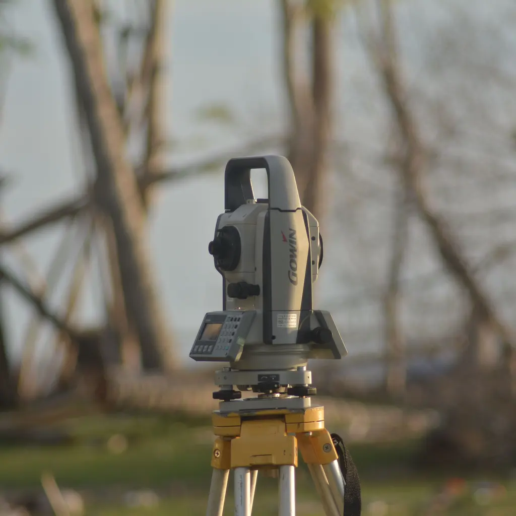
You collect and interpret geophysical or mapping data for development, construction and other client decisions. Depending on your services, a subsurface interpretation, elevation or boundary error can prompt a costly dispute, while field instruments face damage and theft.
The Southern Agency can review your mapping and survey services to help you select appropriate insurance. For example, we can discuss coverage for field equipment and professional liability for your subsurface interpretations.
An incorrect property line, benchmark, or grade can lead to encroachment disputes, redesigns, or construction set in the wrong place.
Misread seismic or resistivity data can cause clients to misjudge geology, foundations, or utility locations and pursue the firm.
GPS rovers, total stations, and LiDAR units are high-value and are transported between sites, exposing them to theft, breakage, and transit loss.
Operating UAVs for mapping introduces flight, property damage, and privacy exposures alongside aviation regulations.
Technicians work near traffic, excavation, and rough terrain, facing struck-by, fall, and equipment injuries.
Crews driving trucks loaded with gear to remote sites can create significant auto liability for the firm.
Survey datasets and CAD deliverables are stored digitally and can be exposed, corrupted, or held by ransomware.
Policies to ask about. Which ones fit depends on your operations, your contracts, and the carrier’s forms.
Ready to compare options?
Get a quote for Geophysical Surveying and Mapping Service Or call 1-800-777-1TSAThese hypothetical examples are not agency claim results. Whether a loss is covered depends on the facts, policy terms, and applicable exclusions.
A structure is built partly over a property line after a disputed boundary survey, and the owner seeks damages. Professional liability coverage may respond, depending on policy terms and the facts. Check declared boundary services, reliance, and claim/reporting dates; an encroachment allegation does not establish fault.
A total station and GPS rover are stolen from a crew vehicle overnight. Inland marine coverage may help replace the instruments, depending on policy terms and the circumstances. Check scheduling, valuation, and overnight/unattended-vehicle conditions.
A mapping drone loses control and strikes a vehicle at a job site. Liability coverage may respond to the property damage, subject to the specific policy, endorsements, and exclusions. Check specifically accepted aviation liability; ordinary GL may exclude aircraft and equipment cover does not pay third-party liability.
Start with the work you do and the questions your current policies leave unanswered. Carrier options depend on your location, risk, and underwriting. Explore our approach.
A wrong boundary, elevation, or subsurface reading can lead to encroachment disputes or costly redesigns. Professional liability may respond to such claims, subject to policy terms and underwriting.
Inland marine may help cover GPS units, total stations, LiDAR, and drones against loss, theft, or damage away from the office, depending on the specific policy and scheduling.
Drone flights create flight, property damage, and privacy exposures. Coverage may be arranged for these operations, depending on policy terms, endorsements, and underwriting requirements.
Workers' compensation is commonly required for technicians working near traffic and excavation, helping with medical costs and lost wages, subject to state rules and underwriting.
Developers and agencies frequently require specific professional and general liability limits. Aligning a program with those terms depends on underwriting.
Assess the routes, trip frequency, vehicles, and equipment carried. Business auto may address liability and purchased vehicle physical damage, depending on your vehicle use, policy terms and underwriting.
Bring your questions, current policies, and relevant contracts. An agent can review coverage terms, exclusions, and the information carriers ask for, then explain the options available to you.