

Boundary and measurement errors
An incorrect boundary, elevation, or easement location can cause misplaced construction and lead to costly correction and encroachment claims.
Try a different word, or check the spelling.
Your completed survey can still be relied on when construction begins years later. Professional protection needs the reporting dates and permitted methods or reliance, separately from replacing a field instrument, preserving plats or insuring a drone's flight.
The Southern Agency can help you coordinate survey liability, field equipment, and fleet coverage for your service.
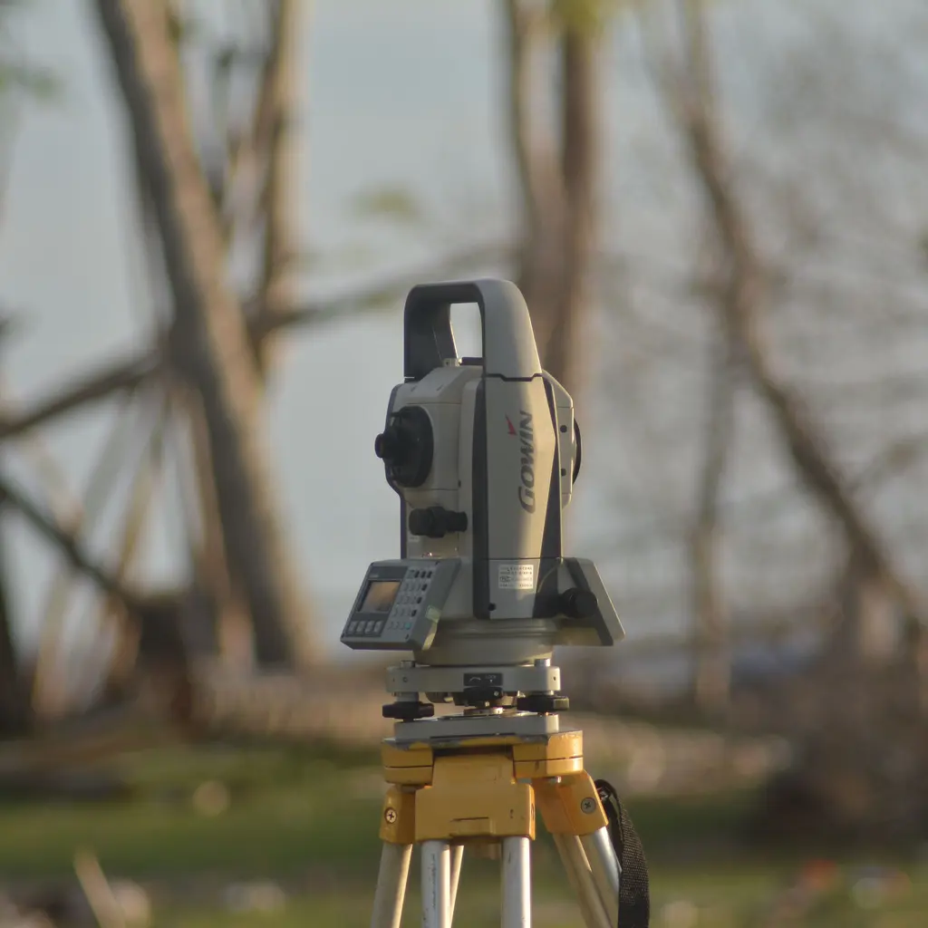
You measure land and establish property boundaries that guide construction and development. An error in a map can cause significant construction delays and financial loss, sometimes discovered years later.
The Southern Agency can review your mapping and field equipment needs to help select appropriate insurance. We can help you arrange professional liability for your survey work alongside coverage for your fleet and field tools.
An incorrect boundary, elevation, or easement location can cause misplaced construction and lead to costly correction and encroachment claims.
GPS receivers, total stations, and drones are high-value and portable, exposed to theft, damage, and breakdown on job sites and in transit.
Crews driving trucks loaded with gear to and between job sites face auto liability and physical-damage exposure.
Working on active construction and undeveloped land exposes crews to trips, falls, and the risk of striking underground utilities.
Survey errors may not surface until construction proceeds years later, creating long-tail professional liability exposure.
Stored survey data, plats, and client records can be lost or compromised through hardware failure or a cyber incident.
Policies to ask about. Which ones fit depends on your operations, your contracts, and the carrier’s forms.
These hypothetical examples are not agency claim results. Whether a loss is covered depends on the facts, policy terms, and applicable exclusions.
A building is constructed partly over a property line due to an alleged survey error, and the owner seeks correction costs. A professional liability policy may respond to defense and damages, depending on policy terms and the facts. Check declared service, reliance, and claims-made dates; the cost of correcting your own survey may differ from downstream construction damages.
A total station and GPS receiver are stolen from a parked survey truck. Inland marine coverage may help replace the gear, subject to the specific policy and scheduled values. Review scheduled values, theft, and unattended-vehicle conditions.
A survey truck is involved in an at-fault collision en route to a site. Business auto coverage may respond to liability and physical damage, depending on policy terms and the circumstances. Review vehicle/driver, other insurance, and purchased physical damage; liability alone does not repair the survey truck.
Start with the work you do and the questions your current policies leave unanswered. Carrier options depend on your location, risk, and underwriting. Explore our approach.
Boundary or elevation errors can lead to misplaced construction and correction or encroachment claims. Compare that exposure with your field operations, equipment, and vehicle use. Professional liability may respond to defense and damages, subject to policy terms, endorsements, and the facts.
Compare actual instruments and any selected UAV physical-damage terms with accepted site/transit use, values and theft/security restrictions. Scheduling a craft does not establish flight liability, privacy claims, every crash or routine breakdown included. Disclose the actual pilot and operation.
An allegation may arise years after the survey. For claims-made cover review alleged-act/retroactive dates, prior knowledge, when claims are made/reported and eligible reporting extensions; limits alone do not solve timing.
Disclose survey-truck ownership, use, and drivers. Business liability and vehicle physical damage need review; do not assume every personal policy excludes every business trip.
Workers' compensation commonly covers work-related injury for field staff, and general liability addresses third-party injury or damage, subject to policy terms and applicable rules.
Bring actual engineering-firm or owner requests for limits, insured status, services and site access. The Southern Agency can compare them with offered terms and issued endorsements. A certificate cannot add every requested duty or benefit; availability and acceptance need direct confirmation.
Bring your questions, current policies, and relevant contracts. An agent can review coverage terms, exclusions, and the information carriers ask for, then explain the options available to you.